


As of this evening, Lebanon is under the influence of a winter weather depression bringing unstable and stormy weather. This is accompanied by heavy rain at times, strong winds, and a significant drop in temperatures, with the depression expected to peak in the coming hours.
According to the Meteorological Department’s forecasts, the effects of the depression will gradually begin to appear with increasing cloud density and scattered rainfall, which will intensify during the night and turn heavy in some areas, especially coastal and northern regions, accompanied by thunderstorms and active winds that may reach speeds of about 60 kilometers per hour, leading to sea disturbance and high waves.
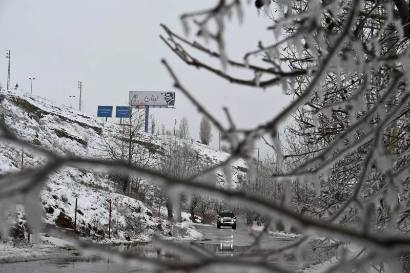
The depression is expected to peak tomorrow, with cold and stormy weather prevailing and a further drop in temperatures to below seasonal averages. Rainfall will be heavy at times, while snowfall is expected at an altitude of about 1600 meters and above, with the possibility of the snowfall level dropping at night to about 1400 meters, especially in the northern and inland areas.
As for Wednesday, the weather will be partly to mostly cloudy, with continued light scattered rain and a gradual receding of the depression, with temperatures remaining relatively low, especially in mountainous and inland areas, with continued wind activity.
Starting on Thursday, the weather will gradually begin to improve, with a decrease in the percentage of rain and the appearance of periods of stability, with a slight increase in temperatures, but they will remain below the usual rates for this time of year.