

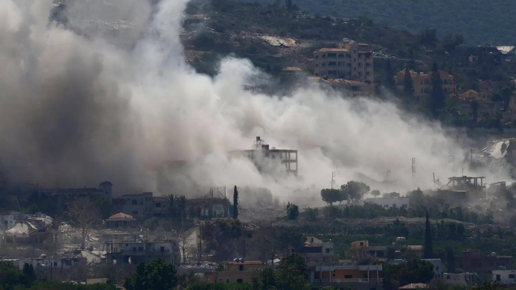
The circle of Israeli operations in southern Lebanon expands to villages and areas beyond the scope of the direct military presence, through incursions, bombings, bulldozing, and fire control, thus re-introducing the concept of the “border village” and the borders of what has become known as the “yellow line.”
This field reality reveals a multiplicity of forms of military presence and influence within the south, between areas witnessing the direct presence of forces, and others subjected to repeated incursions or limited operations, in addition to areas affected by fire from neighboring locations, without this necessarily meaning that they are subject to a single type of control.
Towns in the operations department
A local source in southern Lebanon told Asharq Al-Awsat that “the Israeli operations extended successively to 10 towns: Kafr Tibnit, Nabatieh Al-Fawqa, Beit Yahoun, Bara’shit, Hadada, Ayta Al-Jabal, Haris, Majdal Zoun, Al-Mansouri, and Beit Al-Siyad.”
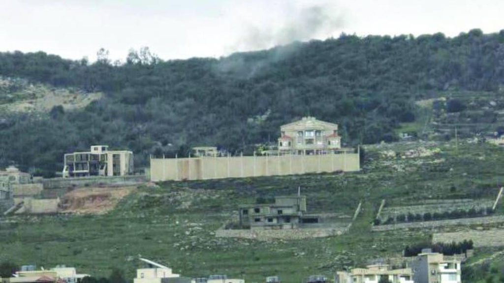
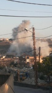
The source explains that these towns are not subject to a single military pattern, as 8 of them witnessed, to varying degrees, entry operations, bombings, and movement of vehicles, while the situation is different in Nabatieh Al-Fawqa and Aita Al-Jabal, where control is imposed by fire from the surrounding locations without a steady spread within the neighborhoods.
In the western sector, the source indicates that the Al-Mansouri – Majdal Zoun – Beyut Al-Siyad axis witnessed a transition from bombing and sweeping to entry operations, bombing, bulldozing and moving vehicles, so that the area on the ground became closer to an area of interconnected operations.
As for the central sector, the operations include Beit Yahoun, Baraashit, Hadada, Ayta al-Jabal, and Haris, with variations between incursions and explosions in some of them and fire control in others, while the situation takes a different dimension towards Kafr Tibnit and Nabatieh al-Fawqa, where the circle of pressure moves to a greater depth, in parallel with the operations in the vicinity of the Ali al-Taher Heights.
The source summarizes the scene into three levels: areas where the Israeli army is directly present, towns where incursions, bombings, and bulldozing are repeated without a permanent location, and third areas that are subject to control or pressure with fire from surrounding locations.
The buffer zone is getting bigger
Reading this reality, retired Brigadier General Bassam Yassin told Asharq Al-Awsat: “The buffer zone is growing without announcement, and the yellow zone that was identified practically constitutes this buffer zone, while the Israeli army acts on the basis that it has freedom of movement to defend itself within it, as well as within the scope of direct influence in its surroundings.”
He added: “The line extends from Naqoura to the Shebaa Farms, with a depth of between 8 and 10 kilometers depending on each region, and it is very similar to the area that was occupied by the Israelis before the year 2000.”
Yassin explains, “Kfar Rumman and Nabatieh were outside the occupation zone before the year 2000, and today they are also outside the direct Israeli presence, while a large part of Kafr Tibnit was outside the occupation zone, but today Kafr Tbnit is within the Yellow and Ali Al-Taher line, according to the maps.”
Regarding the forms of control, he says: “All the villages inside the yellow zone are under direct occupation, while neighboring villages and cities could be under control by fire.” Yassin places Nabatieh within the second model, saying: “It is under control by fire.”
Yassin believes that “what is happening today practically means that we are facing an area similar to the area in which the Israeli army was located before the year 2000,” adding: “There is a tendency to expand it towards Al-Rayhan and Sud, to approach the entire area of presence that existed before the year 2000.”
The area of operations is expanding
On the other hand, retired Brigadier General Khalil Al-Helu gives a different description, and tells Asharq Al-Awsat: “There are areas where the boundaries of operations have changed, but the Israelis do not permanently control the land there, and in return, it does not seem that they are ready to give up the freedom to operate there. “What they are doing is destroying the targets that they think should be destroyed.”
He added: “We are not talking about expanding the buffer zone in the sense that means permanently stationing Israeli forces in new villages, but rather about expanding the area of operations geographically, north and east in relation to the yellow line.”
Nabatieh Al-Fawqa and Ali Al-Taher are examples
Al-Helou gives the example of Nabatieh al-Fawqa to explain the expansion of the theater of operations, saying: “Nabatieh al-Fawqa, for example, has become directly linked to the theater of operations connected to the Ali al-Taher Heights, especially at the entrances leading to the area, and an Israeli presence has been recorded there more than once according to field testimonies. The same applies to other towns such as Hadada and Haris, while Al-Mansouri is located in the western sector within a different field context.”
Al-Hilu stresses that “the most accurate military description of what is happening is not that Israel is expanding the buffer zone or that it is including new villages within a permanent concentration area, but rather that it is expanding its area of operations north and east beyond the yellow line, and is moving militarily in a broader scope without this necessarily meaning establishing a fixed presence in every area it enters.”