

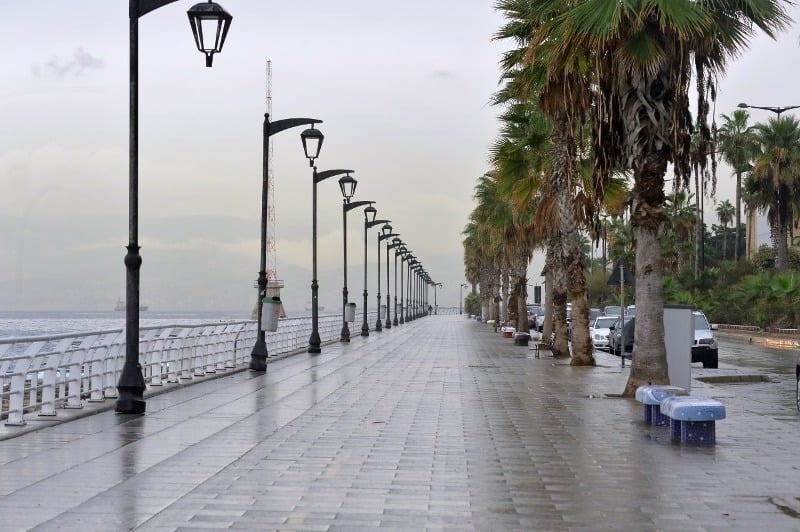
Lebanon and the Eastern Mediterranean region will be affected, starting this evening, by a rapid weather depression of moderate effectiveness, centered southwest of Turkey, carrying with it relatively cold air masses. This will lead to a noticeable decrease in temperatures to become lower than seasonal averages, with unstable and sometimes rainy weather, accompanied by thunderstorms and active winds. The impact of this depression will continue until dawn on Wednesday, when the weather returns to normal with a slight rise in temperatures.
In this context, Father Elie Khneisser, a weather specialist, explains in an interview with , the path of the depression and its effects, confirming that Lebanon is facing a short-term state of atmospheric instability that does not exceed 8 to 13 hours, but it will be “rich in rain,” and this situation may be the beginning of a different weather path during the coming weeks.
Khneisser points out that the depression is formed from the north of the Red Sea and gradually expands towards Palestine and parts of Jordan, before entering the Lebanese atmosphere and continuing its path towards Syria. Despite its short duration, its effectiveness is considered clear, with expected activity between dawn and morning tomorrow, Tuesday.
Based on radar estimates, cloud density, humidity, and thunderstorms, Khneisser expects the following rainfall:
South: 25–30 mm
Western Beqaa and Central Beqaa: 10–17 mm
Chouf – Kesrouan – Upper Metn: 15–17 mm
Coast between Damour and Beirut: 17–20 mm
Western Heights: 20–26 mm
Northern Beqaa: 7–12 mm
Tripoli and its vicinity: 20–25 mm
Akkar: 20–27 mm
He estimates the probability of rainfall distribution between 50 and 60%, with a noticeable impact on the western mountains and the northern, central, and southern coastal areas.
Additional drop in temperature… and snow above 2060 meters
By Tuesday noon, the temperature at the 700 hPa level will drop to about -3 degrees, allowing snowfall to begin from an altitude of 2060 meters and above, with light accumulations estimated between 7 and 10 centimeters at altitudes ranging between 2070 and 2100 meters.
After the depression… the beginning of a new path?
Father Khneisser expects an improvement in the weather after the end of this rapid situation, but Lebanon may witness a series of weather depressions at the beginning of December, which may restore the regularity of the rainy and snowy season during the first half of the month.